
Most hunters open a mapping app and immediately look for obvious places to hunt.
Field corners.
Creek crossings.
Funnels.
Food plots.
Large ridges.
Those locations deserve attention, but they do not always explain where mature whitetails spend their daylight hours.
To understand that, hunters need to look for bedding cover.
A productive bedding area may not appear impressive on satellite imagery. It may be a small point dropping from a ridge, a narrow bench above a creek, a thick patch of young growth, or a subtle elevation change that most hunters scroll past.
The best digital scouting does not identify one perfect stand tree.
It creates a list of terrain features worth confirming on the ground.
Learning how to recognize likely deer bedding areas on a topographic map can reduce wasted scouting time and help hunters understand how whitetails connect security cover with food, water, and travel routes.
A Topographic Map Shows Shape, Not Deer
Contour lines reveal the shape of the land.
Closely spaced lines indicate steep terrain.
Widely spaced lines indicate flatter ground.
Lines forming points, draws, benches, saddles, and ridges help hunters visualize how animals may move through the property.
But a topo map cannot confirm that deer are using a location.
It does not show fresh tracks.
Current food.
Hunting pressure.
Logging activity.
Recent storm damage.
A likely bedding location on a map is a hypothesis.
Ground sign determines whether that hypothesis is useful.
Start With Security, Not Comfort
Hunters often imagine deer choosing beds because the ground looks comfortable.
Comfort matters, but security usually matters more.
A bedding location may allow a deer to:
- Monitor approaching danger
- Use wind from one direction
- Use visibility from another
- Escape through thick cover
- Remain close to food
- Avoid common human travel routes
- Take advantage of terrain
Mature bucks frequently choose beds that provide several of these benefits at once.
The location may look inconvenient to a hunter.
That inconvenience may be exactly what makes it secure.
Ridge Points Deserve Attention
A ridge point extends away from the main ridge and gradually drops toward lower ground.
On a topographic map, contour lines bend outward around the point.
These features are popular starting locations for digital scouting because they can offer several advantages to bedded deer.
A buck may use the prevailing wind coming over the ridge while watching the lower terrain below.
The point can also provide multiple escape routes.
Not every point holds a bed.
Look for additional factors such as:
- Thick cover
- Nearby food
- Limited human access
- Leeward wind protection
- A bench or change in slope
- Fresh sign
The end of a point is not automatically the best location.
Beds may appear on the side, upper third, or where the terrain changes.
The Leeward Side of a Ridge Can Be Important
The leeward side is the side protected from the prevailing wind.
Air may move over the ridge and create calmer conditions below the top.
Deer can use this area for bedding, especially when the terrain also provides visibility and security cover.
Hunters often focus directly on the ridge crest.
The better location may be slightly below it.
Study how the expected wind interacts with the slope.
Then confirm actual wind behavior on the ground.
Mountain and hill-country air movement can be complicated by thermals, vegetation, and changing temperatures.
Look for the Upper Third of the Slope
Experienced hill-country hunters frequently discuss the upper third of a ridge.
This does not mean deer always bed at a mathematically exact elevation.
It refers to a general terrain position below the ridge crest and above the bottom.
This area can provide:
- Wind advantage
- Visibility below
- Access to escape cover
- Reduced exposure on the skyline
- Easier sidehill travel
Use the upper-third concept as a starting point.
Then search for specific terrain changes, vegetation, and current sign.
Benches Break Up Steep Terrain
A bench is a relatively flat section of ground interrupting a steeper slope.
On a topographic map, the contour lines spread farther apart before becoming tight again.
Benches can provide easier travel and bedding opportunities.
A deer may bed where the bench meets thicker cover, a point, or a terrain edge.
Large benches may support several travel routes.
Small benches can be easy to overlook and may receive less hunting pressure.
Pay attention to benches that connect bedding cover with food or water.
Saddles Can Connect Bedding Areas
A saddle is a lower section between two higher points.
Deer, hunters, and other animals may use saddles because they provide an easier way to cross a ridge.
Saddles are commonly discussed as travel funnels, but they can also help explain how deer move between bedding areas.
A buck may bed on one side of a ridge and use a saddle to reach food after dark.
The saddle itself may receive too much human activity to hold a bed.
Study the cover and points around it.
Draws and Drainages Create Edges
A draw is a small drainage running downhill between ridges or points.
Contour lines form a V shape pointing uphill.
Draws can contain water, vegetation, cooler temperatures, and travel cover.
The sides of a draw may create useful bedding terrain, particularly where thick vegetation meets a point or bench.
However, air often moves unpredictably through drainages.
Cold air settles.
Wind follows the terrain.
Thermals change throughout the day.
A location that looks excellent on a map may be difficult to hunt without contaminating it with scent.
Small Terrain Changes Can Matter More Than Large Ones
Hunters naturally notice dramatic terrain.
High ridges.
Deep valleys.
Large saddles.
Mature deer may use much smaller features.
A subtle rise of only a few feet can provide visibility in flat ground.
An old roadbed may create a dry bedding location in a wet area.
A ditch can guide travel through agricultural country.
A narrow strip of high ground may become valuable inside a swamp.
Do not ignore small contour changes simply because they look unimpressive on the screen.
Flat Ground Requires Different Clues
Topographic maps are especially useful in hill country, but they still provide information in flatter regions.
Contour lines may be widely spaced, making terrain features harder to recognize.
In flat country, focus more heavily on:
- Drainage ditches
- Creek banks
- Raised roadbeds
- Levees
- Islands of dry ground
- Marsh edges
- Small elevation changes
- Vegetation transitions
Satellite imagery may become equally or more important than contour lines.
Combine both layers.
Satellite Imagery Adds Cover Information
A topo map shows terrain.
Satellite imagery helps show vegetation, openings, timber age, agricultural fields, wetlands, logging cuts, and edge habitat.
Switch between map layers.
A ridge point becomes more interesting when satellite imagery reveals thick young cover.
A bench becomes less attractive when it sits inside open mature timber with heavy recreational traffic.
Look for combinations.
Terrain plus cover is usually more useful than either one alone.
Recent Logging Can Create Bedding Cover
Timber harvests change deer habitat.
A newly logged area may provide limited security at first.
After several growing seasons, regeneration can become extremely thick.
Young growth offers browse, visual cover, and bedding security.
Study historical imagery when available.
A clear-cut that looks open on an older map may now be nearly impossible to walk through.
Focus on:
- Edges of regeneration
- Points entering the cut
- Logging roads
- Uncut islands of timber
- Creek buffers
- Benches near thick cover
These transitions can become productive bedding areas.
Consider Distance From Access
Distance can influence hunting pressure, but it should not be treated as a guarantee.
A location two miles from the parking lot may receive regular pressure if a maintained trail leads directly to it.
A bedding area only 400 yards from a road may be overlooked because it requires crossing a creek, climbing a steep bank, or moving through thick brush.
Study convenience.
Ask how other hunters are likely to enter.
Deer often respond to access patterns rather than simple mileage.
Human Travel Routes Matter
Mark:
- Parking areas
- Trails
- Forest roads
- ATV routes
- Property boundaries
- Campgrounds
- Popular overlooks
- Access gates
Then consider where human activity concentrates.
A likely bedding feature beside a heavily traveled trail may receive limited daylight use.
Another feature hidden behind difficult terrain may provide greater security.
Human pressure belongs on the map just as much as deer habitat.
Food Still Influences Bedding
Security is important, but bedding locations do not exist in isolation.
Deer need to feed.
Seasonal food changes can affect which bedding areas remain useful.
A point near a soybean field may receive activity during early season.
An oak ridge may become more important when acorns drop.
Late-season bedding may shift closer to reliable agricultural food or browse.
When evaluating a likely bed, identify the nearest current food sources and possible travel routes between them.
Water May Be a Travel Feature, Not a Destination
Water influences deer movement differently across regions.
In dry country, reliable water can be a major attraction.
In wet regions, water may be available almost everywhere.
Creeks, springs, ponds, and marshes can still shape terrain and travel.
A drainage may provide cover.
A creek may limit crossings.
A wet bottom may concentrate deer on nearby high ground.
Do not assume every bed must be located beside water.
Evaluate how water affects the surrounding landscape.
Mark Several Candidate Locations
Do not choose one bedding area from your couch and build the entire hunting plan around it.
Mark several possibilities.
For each candidate, record:
- Terrain type
- Cover
- Likely wind advantage
- Access difficulty
- Nearby food
- Nearby water
- Expected hunting pressure
- Possible observation or stand locations
This creates an efficient scouting route.
The goal is not proving your first guess correct.
The goal is learning which locations deer are using now.
Scout the Downwind Edge First
Walking directly into a bedding area can provide information.
It can also create significant disturbance.
Begin by scouting the outside.
Check likely entry and exit trails.
Look for tracks, rubs, droppings, and travel direction.
Use wind carefully.
If fresh sign supports the location, decide whether more aggressive scouting is worth the risk.
The correct approach depends on season, property size, hunting pressure, and your ability to return under favorable conditions.
What a Real Deer Bed Looks Like
A deer bed is typically an oval depression where vegetation, leaves, grass, or snow has been compressed.
A heavily used bed may contain hair.
Tracks may enter and leave.
Droppings may appear nearby.
Larger individual beds can suggest adult deer, but size alone does not identify sex.
A bedding area may contain one bed or many.
Do not assume every depression belongs to a mature buck.
Consider the complete location.
Look for Beds With a Strategic Advantage
A bed becomes more interesting when its position makes sense.
Ask:
- What can the deer see?
- What can it smell?
- Where can it escape?
- Is thick cover nearby?
- Is the bed protected from wind?
- How would the deer reach food?
- How would hunters normally approach?
The most valuable bedding information explains behavior.
It does not simply confirm that a deer once lay on the ground.
Rubs Can Help Connect Beds With Travel
Rubs near a bedding area may reveal how bucks enter and leave.
One rub is not enough to create a pattern.
Look for a line of fresh rubs.
Study the side of the tree that was rubbed.
Examine nearby trails.
A rub line connecting thick bedding cover with food can help identify an evening travel route.
Older rubs show historical use.
Fresh rubs deserve more attention.
Tracks Reveal Direction and Frequency
Soft mud, creek banks, wet logging roads, and snow can show current movement.
Look for multiple tracks using the same route.
Study direction.
Compare track freshness.
A single track may represent one brief visit.
Repeated trails and fresh sign suggest a more consistent pattern.
Avoid walking directly on the trail.
Protect the evidence while scouting.
Off-Trail Scouting Demands Practical Footwear
Confirming map locations often requires leaving maintained trails.
Hunters may cross muddy drainages, wet leaves, briar patches, shallow creeks, steep sidehills, and uneven timber.
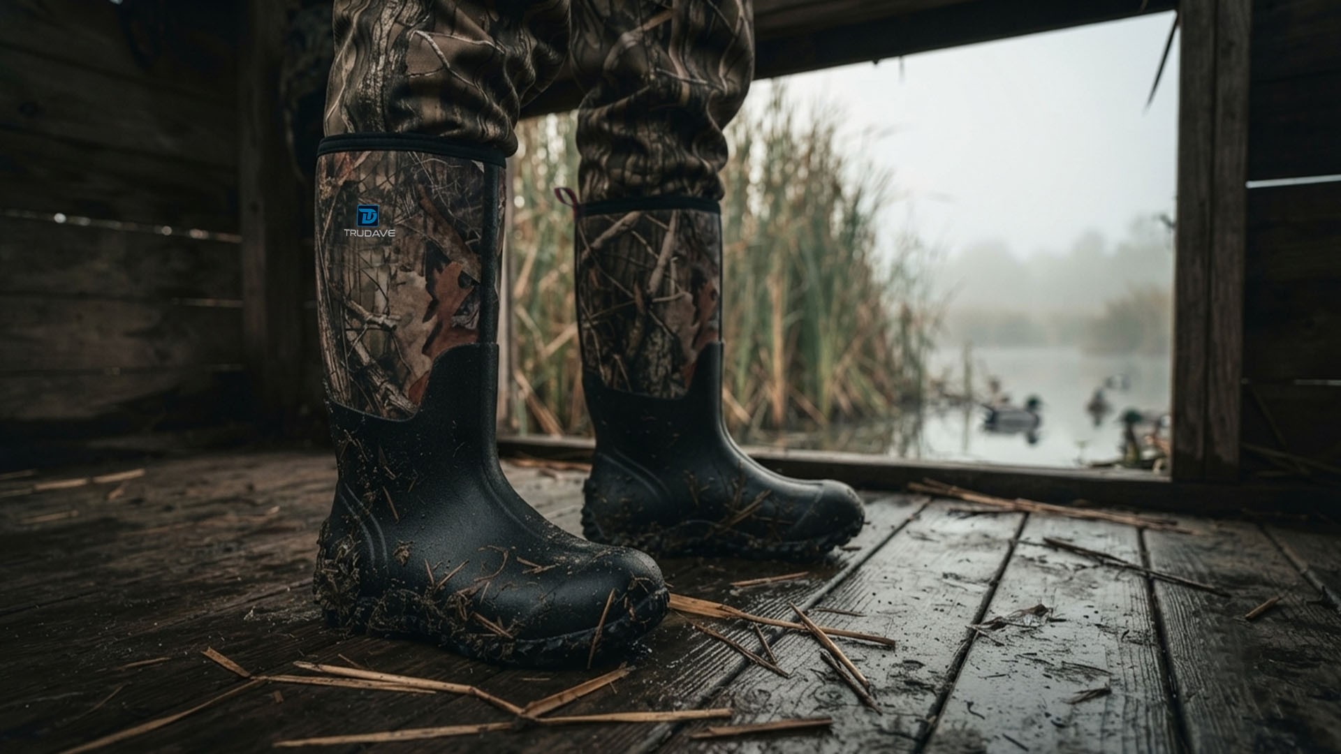
For these conditions, waterproof hunting boots for off-trail deer scouting can help provide traction and moisture protection while allowing hunters to spend more time evaluating remote terrain.
Boot choice should reflect walking distance, temperature, expected water depth, and terrain.
Waterproof protection is useful, but fit and comfort remain essential during long scouting days.
Build a Hunting Plan Around the Bed
Once you identify a likely bedding area, avoid immediately placing a stand beside it.
Study how the deer may use the location.
Identify:
- Evening exit trails
- Morning return routes
- Staging cover
- Nearby food
- Wind-safe observation points
- Entry and exit routes for the hunter
The best setup may be fifty yards away.
It may be two hundred yards away.
The correct distance depends on cover, wind, pressure, and how close you can approach without being detected.
Consider Multiple Winds
A bed may be used only under certain wind conditions.
Another nearby bed may serve the same deer under a different wind.
This helps explain why trail activity changes even when the deer remains in the general area.
Map several possible beds around the same terrain feature.
Compare wind directions.
Over time, patterns may emerge.
Do Not Assume Every Bed Is Huntable
Some bedding areas provide excellent security because they are extremely difficult to approach.
Swirling wind.
Open access.
Private property boundaries.
Dangerous terrain.
Limited trees.
Human activity.
Finding a bed does not mean you should hunt beside it.
Sometimes the best strategy is intercepting the deer farther along its travel route.
Good scouting identifies both opportunity and limitation.
Common Topographic Scouting Mistakes
Treating Every Ridge Point as a Buck Bed
Terrain is only a starting clue. Cover, food, wind, pressure, and fresh sign determine value.
Ignoring Satellite Imagery
Contour lines do not show current vegetation.
Focusing Only on Remote Locations
Difficult access can create security close to roads.
Walking Directly Into Every Candidate Area
Start from the outside and protect potential hunting locations.
Trusting Old Sign
Historical beds and rubs do not guarantee current use.
Ignoring Hunter Access
Human movement strongly affects daylight deer behavior.
Choosing a Stand Before Ground Scouting
Confirm the terrain, cover, and actual sign first.
Frequently Asked Questions
How do you find deer bedding areas on a topo map?
Start with ridge points, benches, leeward slopes, upper-third terrain, draws, saddles, and small areas of high ground. Combine terrain with satellite imagery, security cover, food, wind, and hunting pressure.
Do bucks always bed on ridge points?
No. Ridge points are common starting locations for scouting, but bucks may bed on benches, in thick lowland cover, near marsh edges, inside young timber, or on subtle terrain features.
What is the upper third of a ridge?
It is the general area below the ridge crest and above the lower slope. Deer may use it for bedding because it can provide wind, visibility, and escape advantages.
Are benches good places to find deer beds?
They can be. Benches provide flatter ground on steep slopes and may connect bedding cover with travel routes.
How close should you hunt to a bedding area?
The correct distance depends on wind, cover, access, hunting pressure, and the risk of alerting deer. Some beds can be hunted closely, while others require a more conservative interception setup.
Can you find deer beds without scouting on foot?
Maps can identify likely locations, but ground scouting is needed to confirm current beds, tracks, rubs, cover, and access conditions.
Final Thoughts
A topographic map cannot tell you exactly where a mature buck is sleeping.
It can show you where the terrain may provide security.
Ridge points.
Leeward slopes.
Benches.
Upper-third positions.
Draws.
Saddles.
Small areas of high ground.
The most productive digital scouting combines these features with satellite imagery, current food, thick cover, wind, and human pressure.
Mark several possibilities.
Scout efficiently.
Confirm fresh sign.
Protect the areas you may want to hunt.
And remember that the best bedding location on your map may not look dramatic.
It may be a small terrain change, hidden inside cover, that gives a deer exactly what it needs to survive another season.
